Ground understanding
See what a flat drawing cannot show
Even modest level changes influence how paths meet terraces, how structures sit in the garden and how planting is experienced. When the ground is treated as a separate drawing, those relationships are harder to judge.
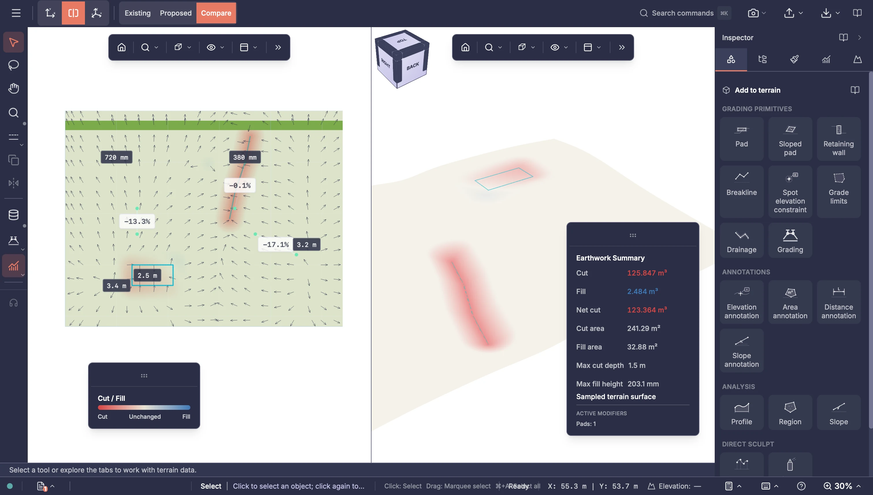
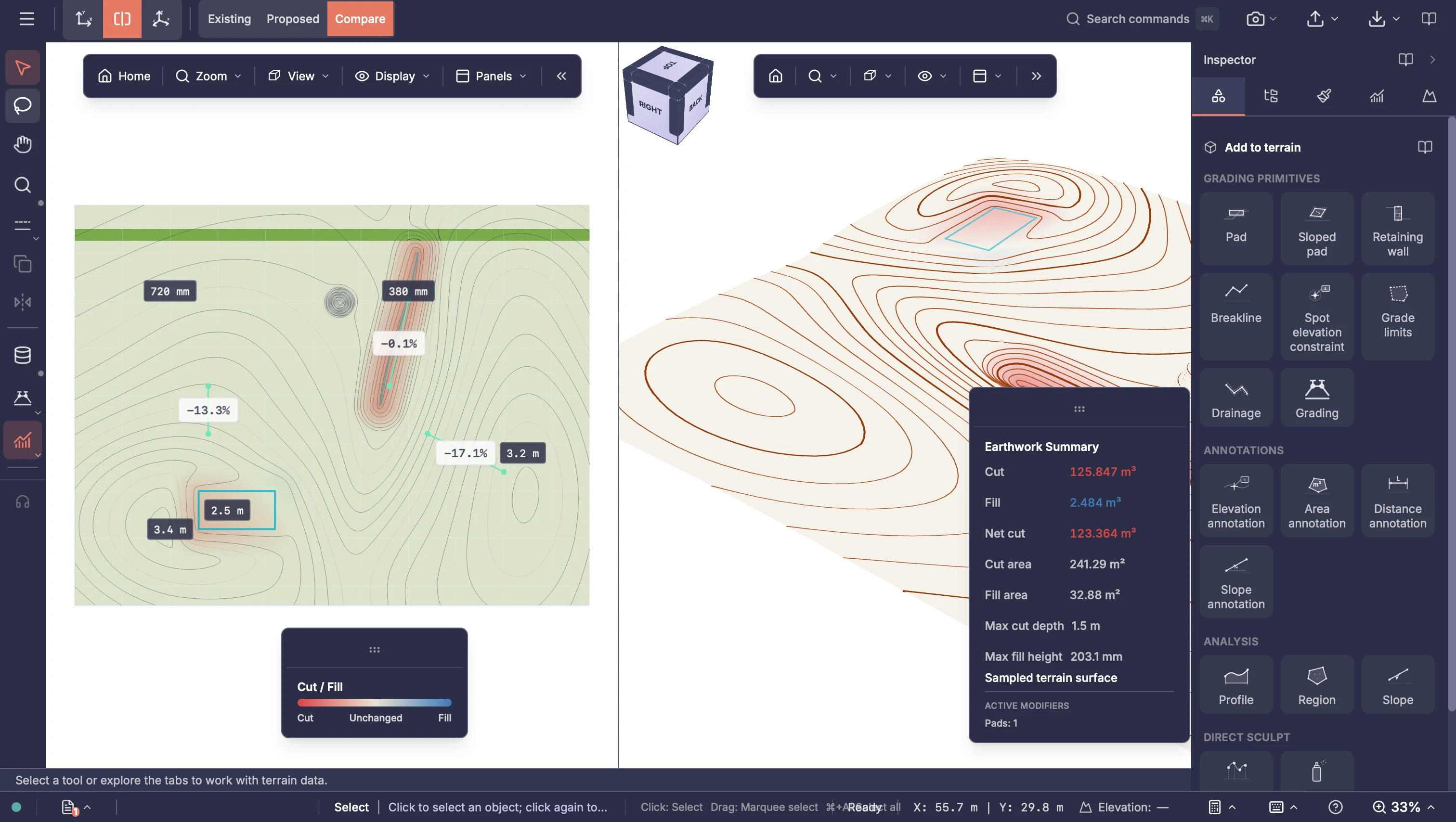
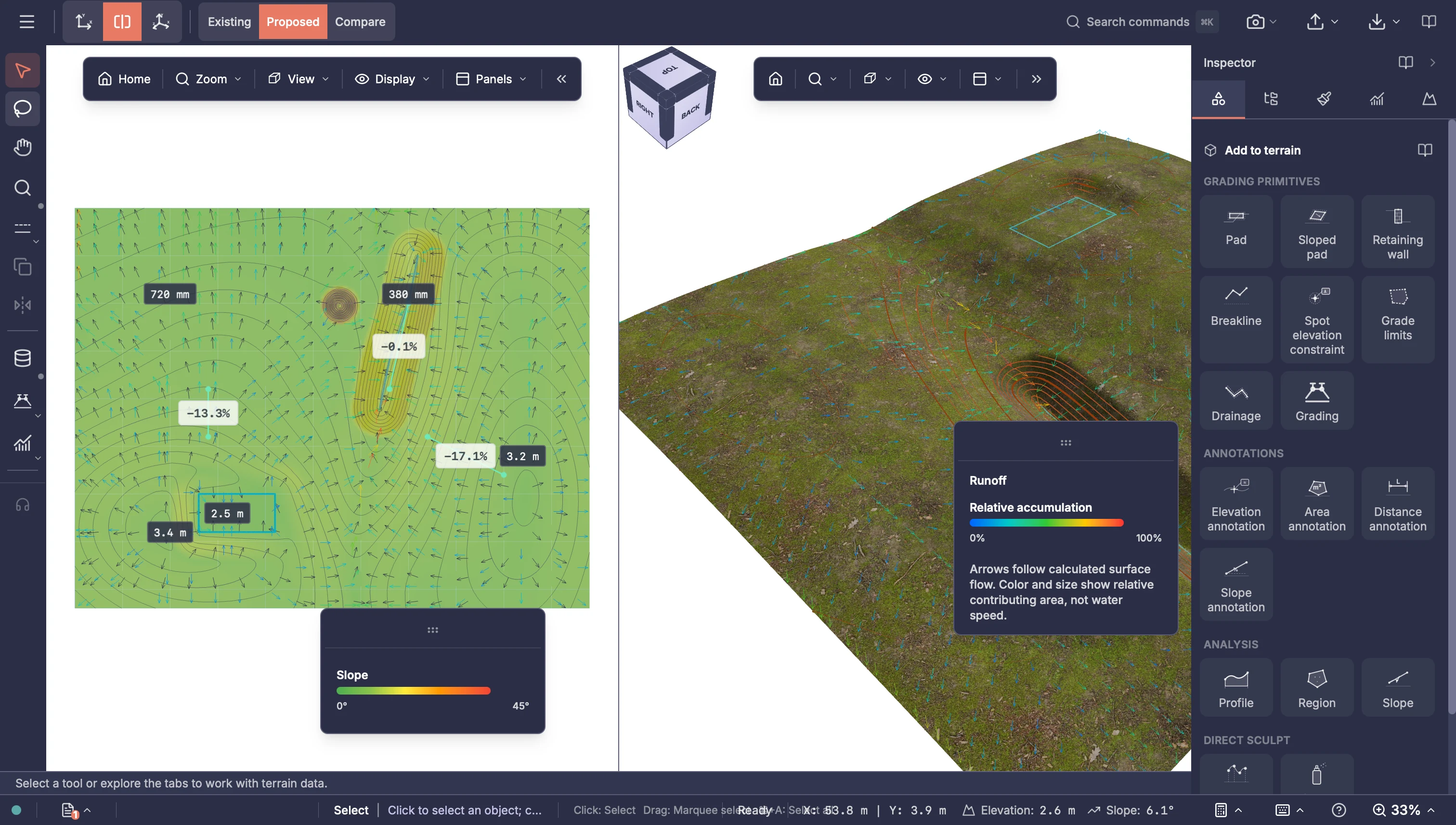
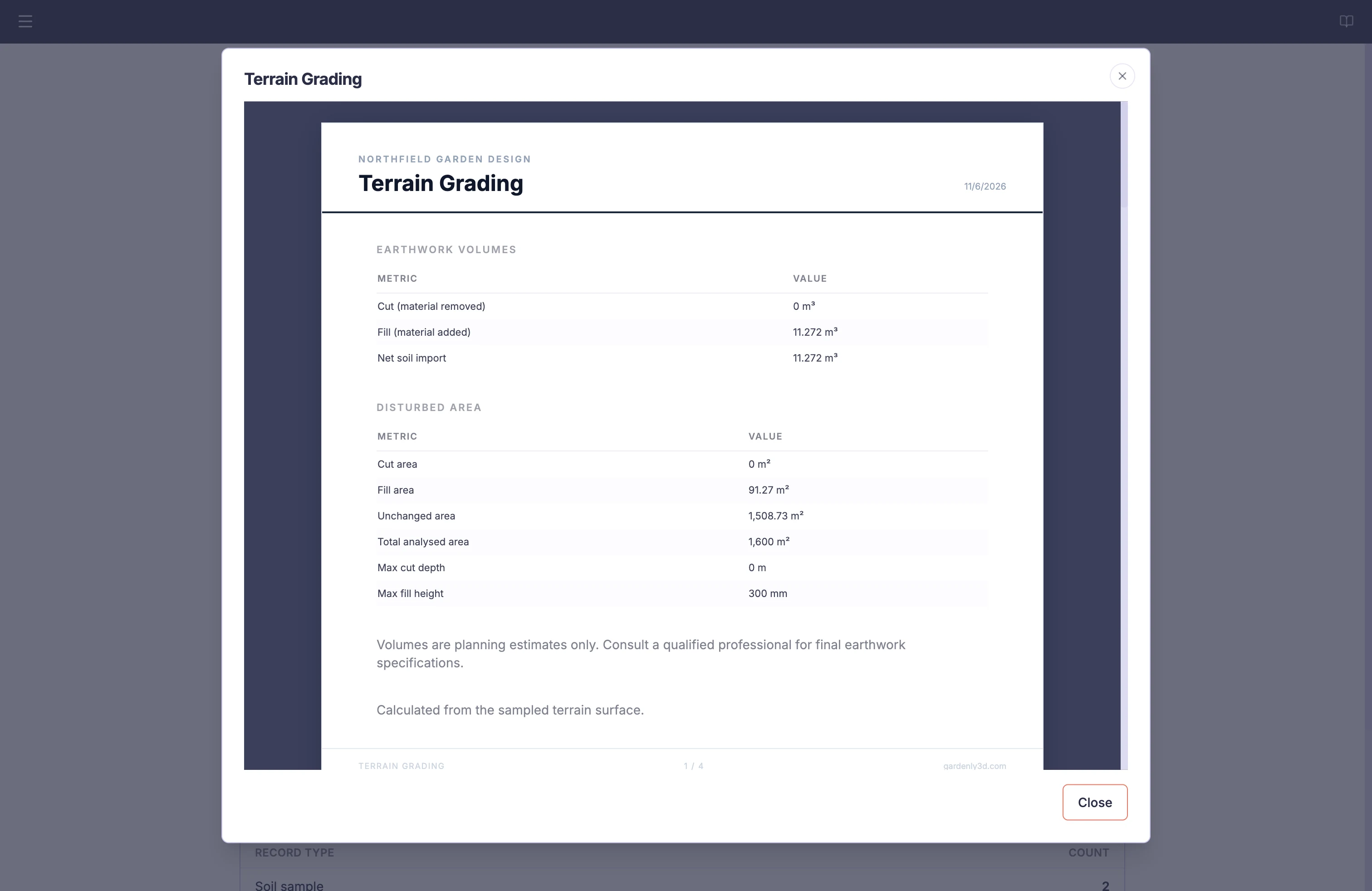
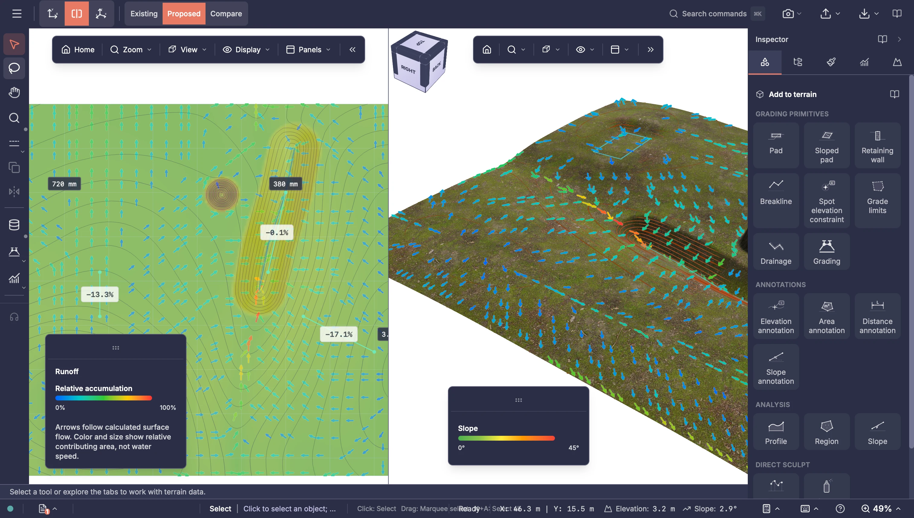
Review the terrain in 2D, split and 3D terrain views. Existing, proposed and comparison surfaces make it easier to understand the starting point and the direction being explored.
In practice
- Start from the project terrain, create a slope, bowl or mound, or import supported elevation data
- Move between 2D, split and 3D terrain views
- Inspect hillshade, contours, slope and aspect